Chronicle · Every City Has a Life Story
A city's life story in 3D: from the globe into its real buildings, then its history played on them as light, era by era, with every caption fact-checked.
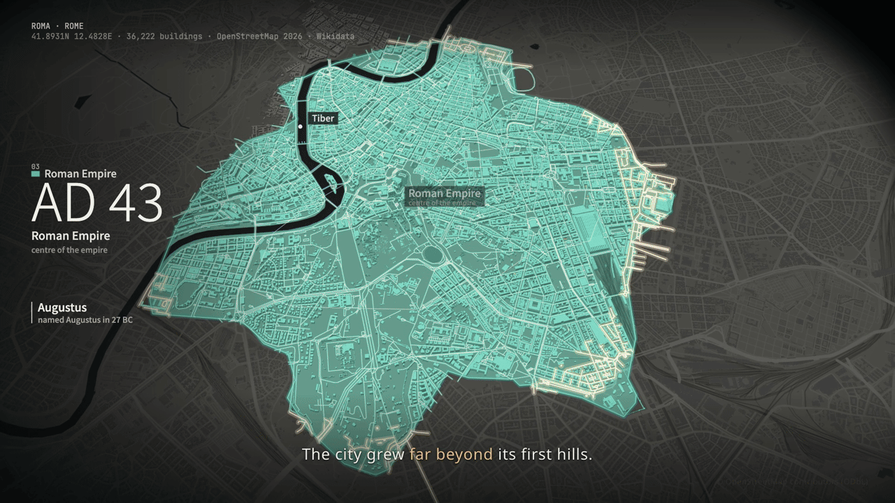
A fact-checked life-story film of any city in 3D. The globe turns to the city and the camera flies into its real buildings, every OpenStreetMap footprint at its height. Time first runs back to the beginning, then the city's history plays on the model as light, era by era: the first settlement at the river, each new extent growing out of the last, walls rising and dissolving, fires that bring buildings down and rebuild them, bridges linking districts, landmarks rising on their Wikidata year and the modern skyline growing outwards. Every caption is bound to claims cross-checked across publishers before anything renders.
How it works
Fetch the city: OpenStreetMap buildings with heights, streets, water, walls; Wikidata landmarks with year and height
Write the chronology and the shot list; the script gate checks every caption against the claims
Render the WebGL city in Chrome through HyperFrames, segment by segment, then the full film with checks and a report
Frequently asked questions
Are the old city outlines real?
They are the Agent's approximate polygons for each era, not surveyed maps. The buildings are today's OpenStreetMap footprints; landmarks rise on their Wikidata year and newer districts rise outwards, so the history is projected onto today's city.
How are facts checked?
Each fact needs two publishers that agree, one of them a reference institution such as Britannica or UNESCO. Lines with a single source must be hedged ("Records say") and are limited to two per film; numbers and names in a caption must be in its claims.
Does it call image or video models?
No. Every frame is drawn by code from map data. Only narration (MiniMax Speech) and the music track (MiniMax Music) can be generated through SandBase, and only when you ask for them.