City Grows 3D
Every real building of a city rises in 3D in the year it was recorded as built, so the city fills in building by building, with narration and the fires that shaped it.
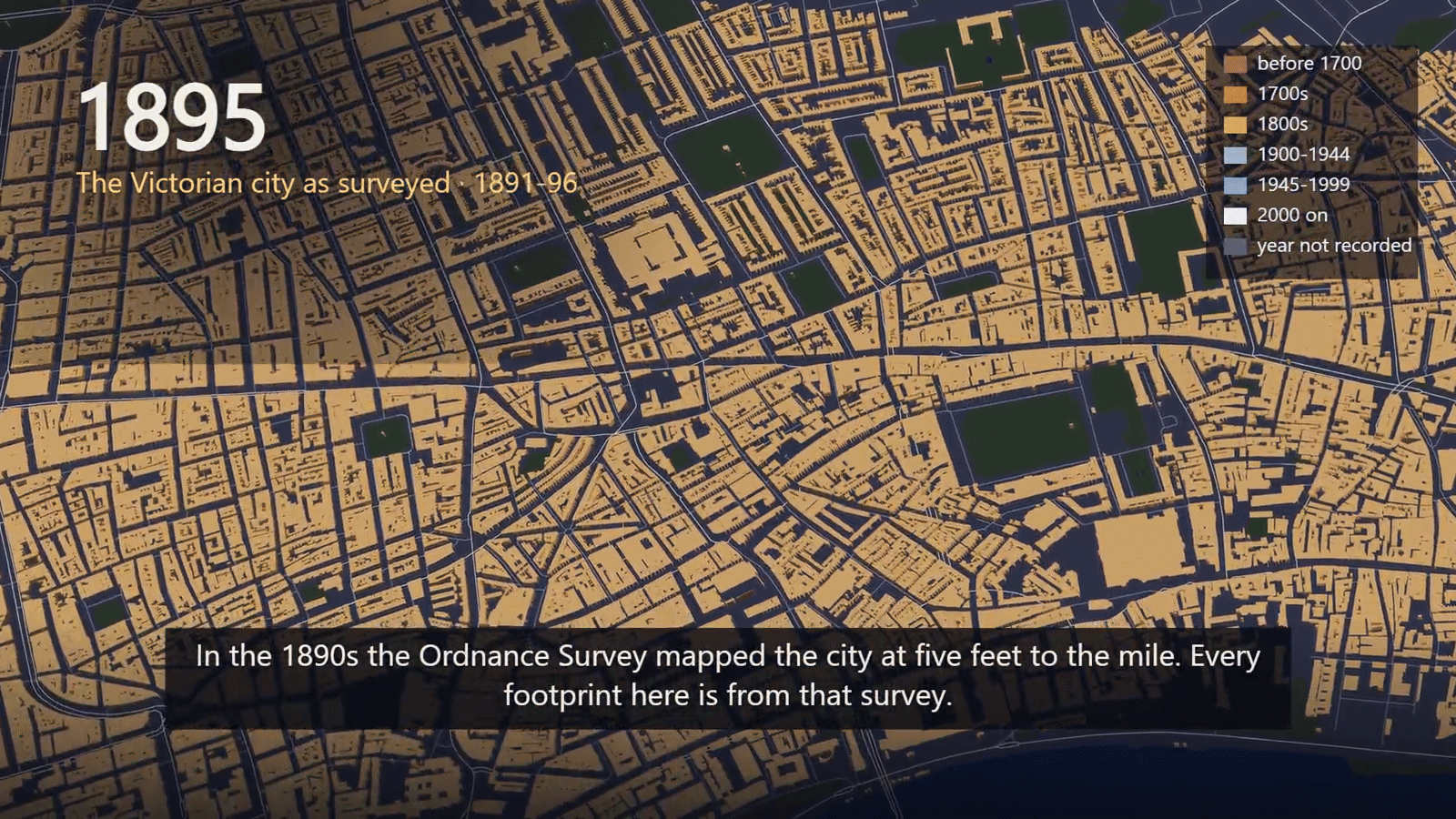
A narrated 3D film of one real city, building by building. It opens on today's city, the buildings sink away, then the city clock runs forward and each building rises in the year it was recorded as built, coloured by its century. Landmarks are named as they appear, fires and raids glow on the ground, a historic survey shows the city as it stood in one moment, and buildings whose year is not recorded rise last, in grey.
How it works
Build the city: today's footprints and heights from OpenStreetMap, construction years from the Colouring extract, streets, water and parks from OpenFreeMap
Voice the narration through SandBase, after a cost estimate
Render in Chrome with Three.js on the GPU, 2× supersampled, with the narration over a score synthesised in code
Frequently asked questions
How is this different from City Through Time 3D?
City Through Time 3D raises each era's whole extent at the heights of that period. City Grows 3D raises each building on its own, in the year it was recorded as built, so the city fills in building by building; it needs a building-age dataset such as Colouring London.
Why do so many buildings rise in grey at the end?
Only recorded years are used: Colouring data, OpenStreetMap start dates and your landmarks. In central London about 36% of buildings have one; the rest are shown as "year not recorded" rather than guessed.
Do I have to download the 8 GB extract?
Footprints, streets and water are fetched automatically. The construction years come from the Colouring extract, so without it only landmarks and OpenStreetMap start dates have years. references/data.md says where to get it.