Regional flavor map
Turn a region's food areas into a text-free 16:9 flavor map base image with restrained geography, ingredient clusters and three to five empty profile badges.
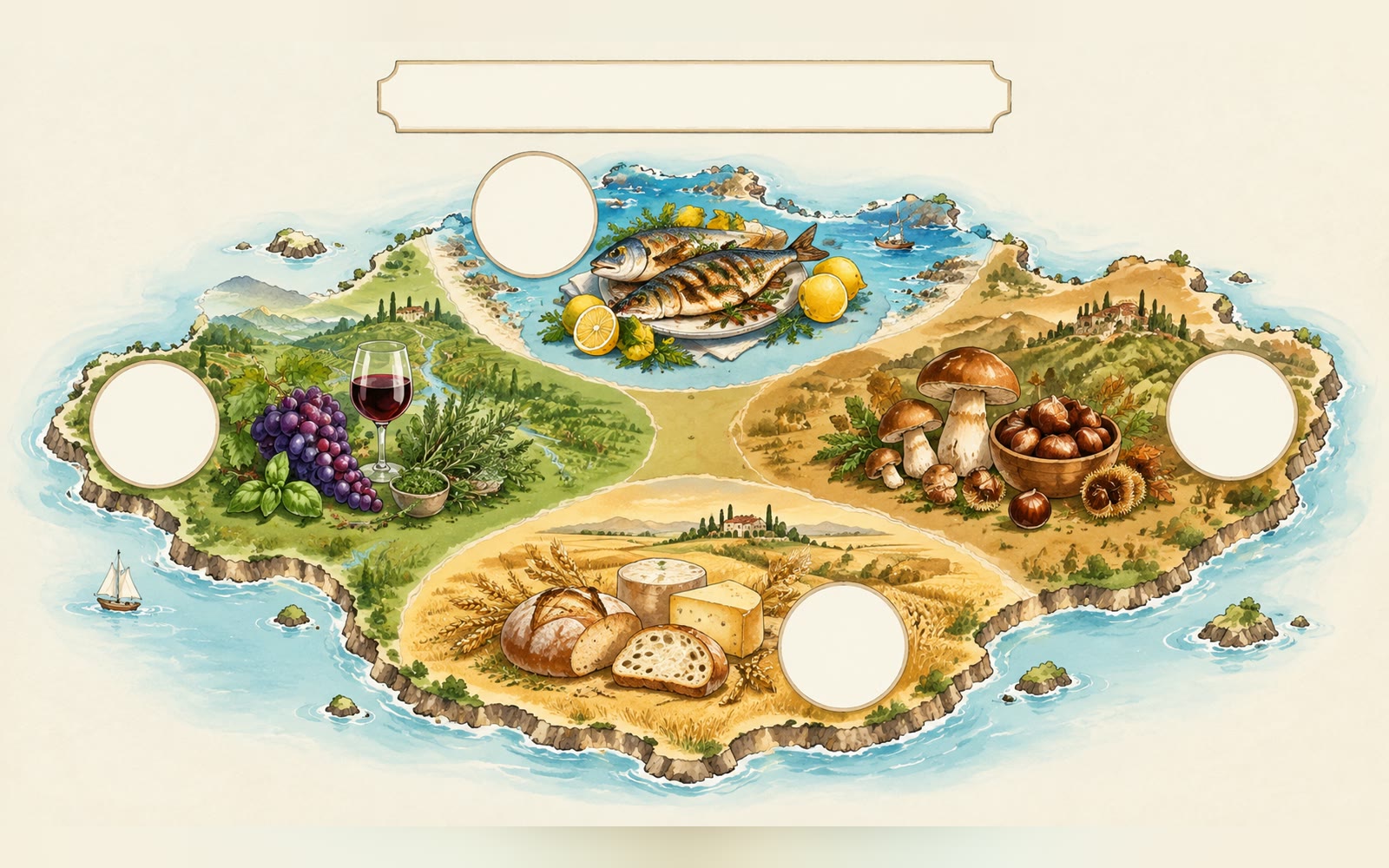
Bring an area description and three to five annotation areas. The Skill returns one text-free 16:9 base image with empty badges and a bilingual run report.
How it works
Describe the topic and areas
The Skill checks the area and the three to five annotation areas you plan to fill.
Render the base image
A SandBase image model draws a simplified landmass with same-scale ingredient clusters and empty badges, leaving each annotation area blank and drawing no text.
Add your text
The Skill checks the PNG and returns it with model, timing, cost and a reminder to confirm the image has no text; add exact labels in your layout tool.
Frequently asked questions
Why is there no text on the image?
On purpose. Image models misspell small text, so this Skill leaves blank annotation areas for you to fill with exact labels and citations in your own layout tool.
Are the borders accurate?
No. Geography is simplified and approximate; add verified names, values and any needed disclaimer afterwards.
How many blank areas will there be?
One per line in the annotation areas field, three to five in total. The model aims for that number; check it when you review the image.
Does the local Skill match?
Yes. The downloaded package runs the same pipeline with SANDBASE_API_KEY and writes bilingual reports.