City street map illustration
Turn an area and a few landmarks into a decorative 16:9 illustrated street-map scene with a title and three to five exact landmark labels.
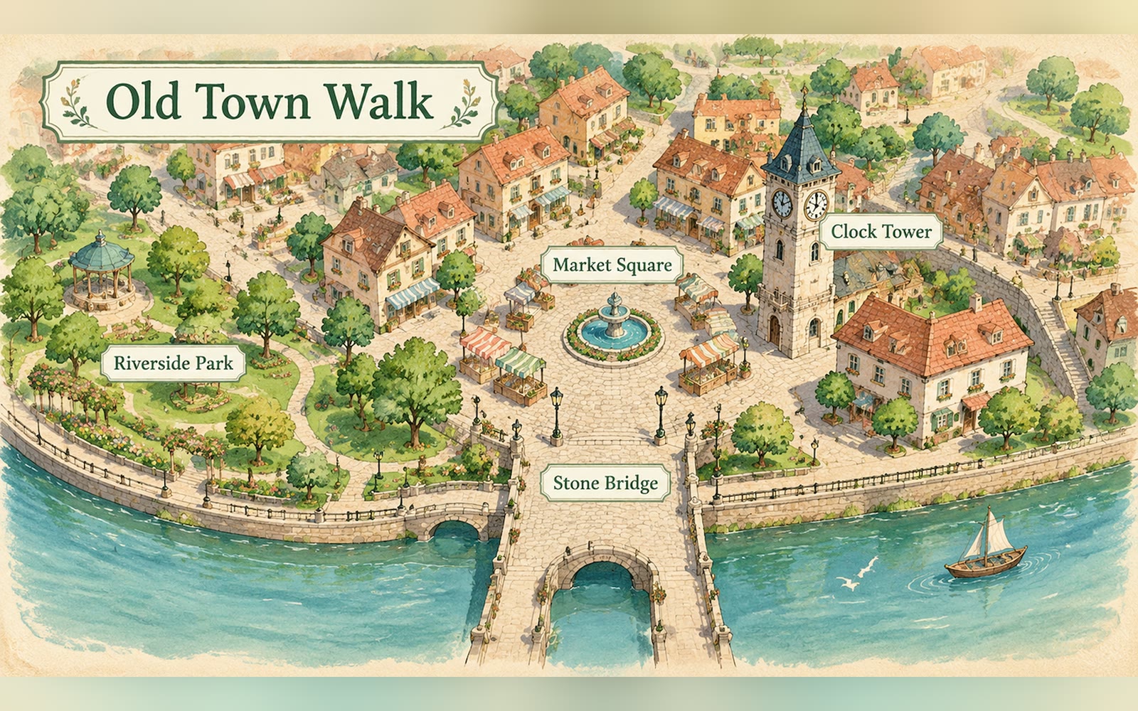
Bring a title, the area and three to five landmark labels. The Skill returns one 16:9 illustrated map and a bilingual run report.
How it works
Write the title and labels
The Skill checks the title, the area and three to five labels, then builds the prompt around them.
Render the image
A SandBase image model draws a simple street layout with the landmarks as charming small buildings, with the title and each label drawn once.
Review every label
The Skill checks the PNG and returns it with model, timing, cost and a reminder to check every label character by character.
Frequently asked questions
Are the title and labels guaranteed exact?
Requested, not guaranteed. The report marks text accuracy as needing review; check the title and every label character by character before use.
Can I use it to navigate?
No. The map is decorative; positions are approximate and it must never be used for navigation.
Can I add more labels or longer notes?
Up to five short labels keep the image readable. Add longer notes, values or citations afterwards in your own layout tool.
Does the local Skill match?
Yes. The downloaded package runs the same pipeline with SANDBASE_API_KEY and writes bilingual reports.