Pixel City Drive
Drive a real route through your city in pixel art: OpenStreetMap buildings on their footprints, signs with the real street names, landmarks, golden hour into night.
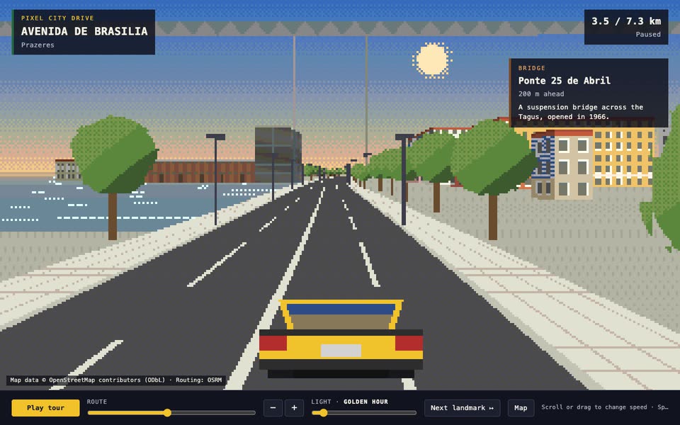
Bring two points in a city and the landmarks to pin. The Skill returns a downloadable Skill (route bake, meta prompt, lessons, verification), a runnable scene and a 90-second film.
How it works
Bake the route: OSRM for the road, OpenStreetMap for buildings, water, parks, bridges and landmarks.
Write the city’s style.json (facade palettes, paving, car, landmark notes in both languages), then check frames along the whole route.
Verify headlessly, build one self-contained HTML file and record the film.
Frequently asked questions
Does it call any model or need a key?
No. The Skill gives your agent a prompt, lessons and a reference scene; the scene itself makes no network calls.
Why is the demo sandboxed?
The frame has an opaque origin and no network access, so the scene can’t read anything from this page or reach the internet.
Are these photos of the street?
No. Positions, lengths, heights and names come from OpenStreetMap; facades, colours and landmark shapes are drawn by code. The ground is flat.
Can I drive my own city?
Yes. Bake a new route with two points (and optional via points), pin its landmarks and write its palette and notes; each city needs its own look at the frames.
What about the map data licence?
Map data © OpenStreetMap contributors under the ODbL. The baked route is a derived database: share it under the ODbL and keep the credits line visible.
Why is there no online generation?
Building a new scene needs a model key inside the sandbox, which the backend doesn’t support yet. Run the Skill with your own agent for now.